A Week in Zion

Written by Austin Cotton

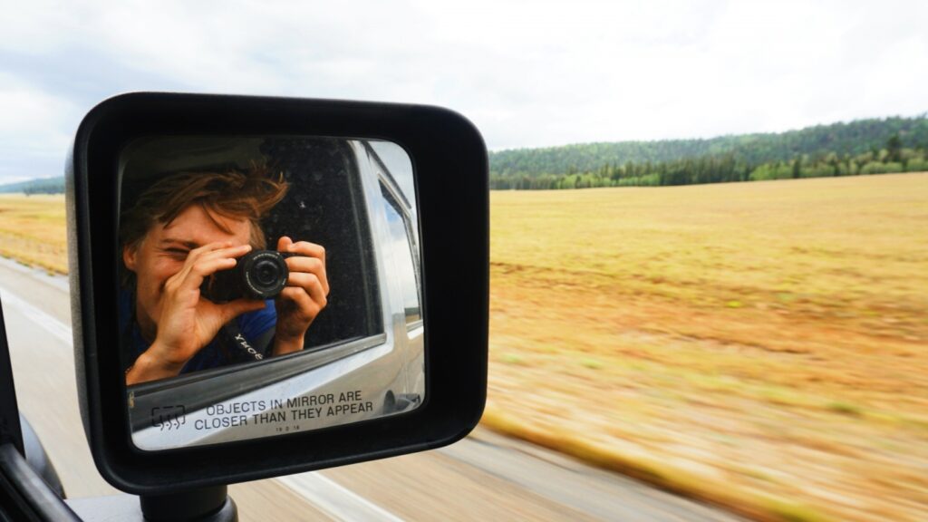
There’s something about road trips. The first part has its usual banter with whoever you’re traveling with but there comes a point (I’ve found for my extroverted self it’s about hour six) when that hits a standstill. Sure you can talk about career and hobbies for a while but even with someone you know extremely well there comes a point where the silence takes over. And living in 2020, few things are rarer than silence. When it approaches there’s some unease about it, but after it arrives and the initial tension eases, there’s something calming to it. Especially in the recent season we’ve collectively found ourselves, you can try to combat all the bad news with good, but an alternative may be to find spaces to unplug completely. Obviously, we didn’t plan a trip to Zion National Park for the hours on the road but every time I end up being on a trip like this, the miles and hours tend to add to the experience unexpectedly.

As I was feeling many of the things a lot of us are feeling in this current season, a sense of claustrophobia from small apartments, the stress of transitioning to work remotely yet continuing to work at the same pace, and a strange loneliness, a break from it all was very welcome. This trip had initially been planned with Big Bend in mind, but like many things, this year COVID had other plans for us. So about a month out, we decided to shift our plans further west to Utah. One of my favorite aspects of Noel and I’s friendship is the ability to throw out the script and go off-book. So we met in Lubbock and Sunday morning headed out for our first destination: Horseshoe Bend.

Each hour the landscape slowly improved and soon after passing into Arizona, the iconic multi-colored formations were all over. We reached Horseshoe Bend, and even though I had googled the pictures beforehand, the first thing that hits you is the scale. The bend is absolutely massive and the red and orange layers of the rock-cut deep down hundreds of feet to a clear blue river that looks almost manufactured with trees and bushes sprinkling the embankments of the shores. The sky was cloud covered and rays were breaking into the canyon casting this extra layer of contrast to the area. All in all, we were off to a good start.
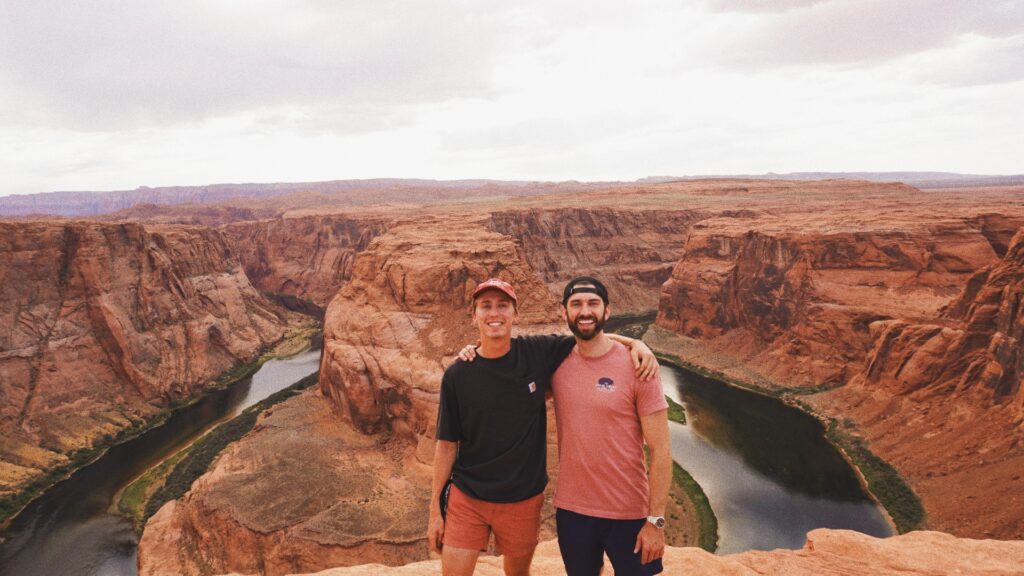
(Horseshoe Bend)

After stocking up at the local Wal-mart (which actually offered camping in the back of their parking lot. As a businessman I had to appreciate the ingenuity on that extra revenue stream), we headed to our campsite as the sun was setting. In typical fashion, I hadn’t done much research into where Noel had picked for us and as we took this lone road off the highway we slowly approached Lonely Rock at Lake Powell. As we got closer the road turned to sand and after some off-roading, we got to the beachhead and found a spot on the end of this long line of campers and tents. We immediately headed for the water which felt amazing and set up camp. In contrast to the red tones of Horseshoe Bend, the sand and landscape was a pure white and tan while the water was almost this cerulean shade. We cooked out of the back of the Jeep which was definitely an enjoyable first.
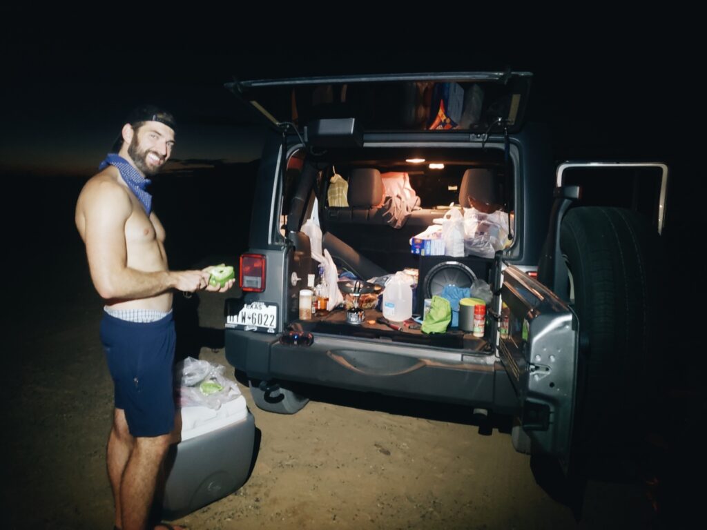
Jeep Kitchen

As the sun fully set, the night sky began lighting up. I’ve been off the grid before but something about being in a city for so long and seeing just a handful of stars, to something of this magnitude, where the stars are spanning over the entire night sky never gets old. Noel and I stayed up talking as we watched satellites in orbit and the fires beside us die out till it was time to call it a night. As I learned the hard way (literally), this ended up being my first and last night without a sleeping pad; I slept terribly and woke up sore but forgot about it quickly because the sun was already rising over the far side of the lake. After a morning swim and taking it in our last views, we were on to Zion.
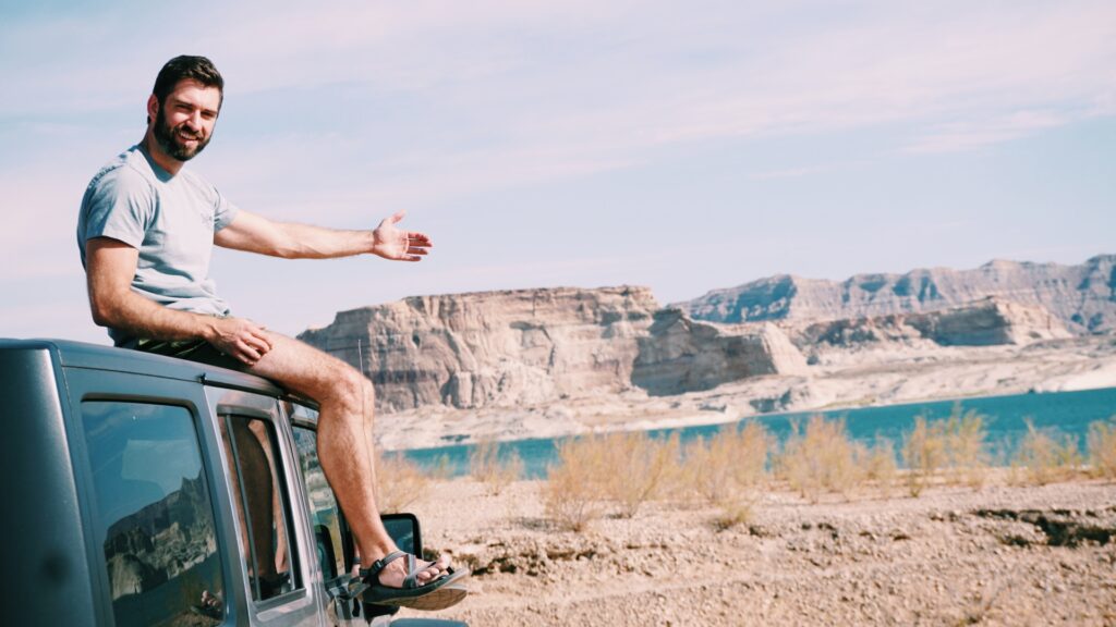
Campsite at the Lonely Rock Lake Powell.

It quickly became apparent that we were closing in on Zion as we passed ranges that easily would have qualified their own parks in Texas. In Utah, these were just the runner-ups. After getting our park pass for the week we entered a mile-long tunnel, and when we finally came out on the other side, we were atop a hill facing two massive ridges. We drove downward on switchbacks carved into the side of the mountain taking in the size of this park. Zion knows how to make a strong opening. We were both on a high from taking it all in as we drove towards Springdale on the other side of the park. After getting our bearings and planning a rough outline, we got a quick hike in on the Watchmen trail, swam in the creek, and decided to head a little early to find the campsite.

Through this trip I found out much of Utah is public land and you can camp on land run by the Bureau of Land Management (BLM) completely for free which for two guys looking to keep expenses low was an easy sell. We had to drive a ways out of the park but soon reached the back dirt road which slowly sloped up this hill into the sorriest most beat-up road I’ve ever driven on. Me, Noel, and everything in the back seat was getting tossed around as we ascended but when we finally got to the top, we had the place all to ourselves. There were about ten campsites all spread far enough apart by splintering backroads that we felt completely isolated when we got to our campsite. And let’s just say the ride up was well worth it.
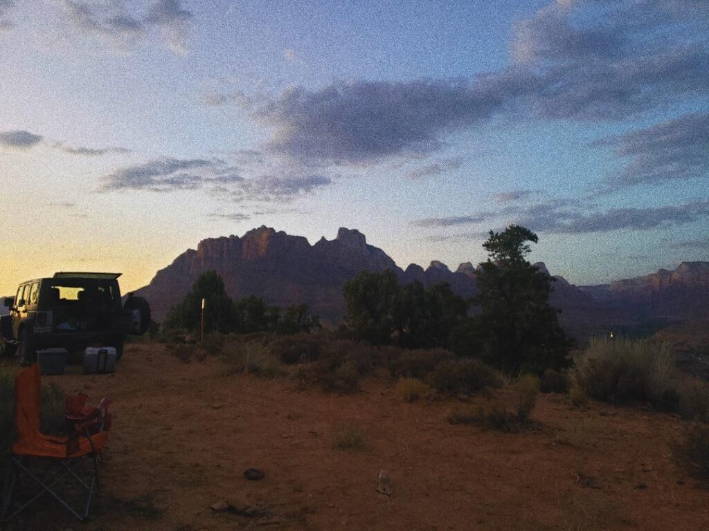
Free campsite on BLM Land overlook Zion.

For our first full day, we headed slightly out of the park to Lamb’s Knoll to get some outdoor climbing in. I had fallen in love with climbing back in 2013 when I spent a summer as a camp counselor in Kenya and climbing on the weekends. I had been hooked for a while but the lack of places to climb as well as fellow climbers in good ole Abilene, Texas slowed my frequency so I had been looking forward to breaking back into outdoor climbing this trip. Lamb’s Knoll was a beautiful spot but the only problem is like a lot of climbing spots in Zion, it’s not necessarily for beginners. Fine for Noel, not so fine for me. We ended up getting a great day of climbing in still and besides a pretty solid lead climb fall from Noel, it was smooth sailing.

There’s something about the nonsensical nature of climbing where there’s no good explanation of why, but something draws you to it. In a fairly risk-proofed society where we’re constantly insulated, climbing is a direct rejection of that where you willingly put yourself hanging 30 to 40 feet high with just a single rope and some bolts holding you up, trusting the belayer knows what they’re doing. It teaches you a lot about yourself and builds trust with the person you’re on the other side of the rope at an accelerated pace.
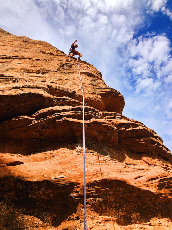
Climbing at Lamb’s Knoll.

The first climb was much more technical and I was having a rougher go of it, but our second was a unique route wedged in the side of a crack in the canyon wall. You begin climbing the wall in front of you with another wall on both your left and your right that could be used to shimmy up the start. Noel and I each took about thirty minutes to climb the length of it and after both making it to the top decided to call it a day before the heat really kicked in — both of us getting a couple wins in for the day.

As opposed to a trip to NY or LA, in a national park even without an agenda, no time feels like it’s wasted. The rest of the day we took slow even calling it early to the campsite where we ate a good meal, read, and Noel played his guitar. All with the entirety of Zion as our backdrop.

The next day led us into the Narrows. One of Zion’s more iconic hikes, I had purposefully tried to not research too many of the sights beforehand so I would be seeing much of it with fresh eyes, but nothing really prepares you for walking through the Virgin River with canyon walls hundreds of feet high towering over you on either side. Noel and I walked about an hour and a half into the gorge and realized about halfway through that there was no real end to this trail. You stay on the hike as long as you’re able and it feels as though it would keep going on forever. Each turn leads to a completely different area so the single hike feels multiplied. Some parts were wide open with trees and vegetation overtaking both sides, in other parts the only way forward is through waist-high water going against the current. It was one of the most unique places I have ever been to.

Post-hike and a Thai feast, we realized because of the COVID restrictions we were running out of spots to hit within Zion. We needed to stay local as I was heading back Saturday but Noel was staying another week like the madman that he is with a separate group from A&M. Looking at the map, we settled in on heading back down to Arizona to the Grand Canyon. Just like that. Spontaneity is a bit of a lost art form in several respects. We value our weekly meetings and schedules as a society, but the rigidity also closes out potential. Obviously, there’s a bit of a balancing act to this, but we played it right and ended up adding a large highlight of our trip in the final moments.

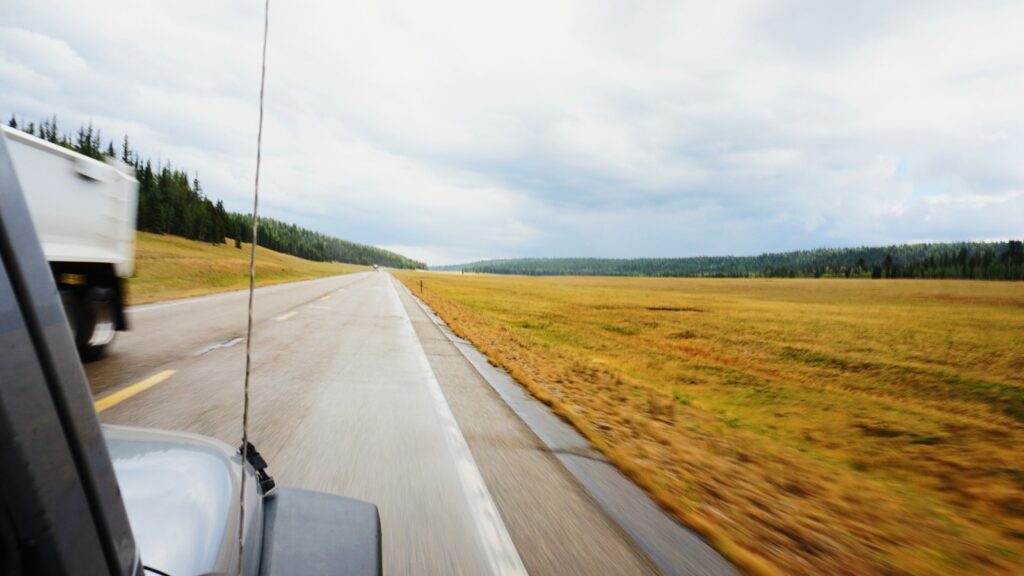
Now if you’re like me, when you hear “Grand Canyon,” a very specific image comes to mind. Most likely it’s the quintessential desert canyon shots that I’ve seen as well. So as we drove from Zion and about an hour from the canyon came to the start of the Kaibab National Forest, we were a bit thrown off. As the elevation slowly rose, the temperature fell inversely and rain began falling. While most of the trip had been in the low 90’s we suddenly were in the mid-’40s. Fog covered the tips of the trees as we came to the head of the North Rim. We put on an extra layer as well as our rain jackets and brought our lunch to an overlook point out over the Grand Canyon.

As we ate, there were a few other people around us, and we struck up a conversation with Sparky which as far as we could tell was in fact his actual name. Sparky looked to be late 60’s with a gray handlebar mustache, beer belly, and Game of Thrones shirt — just our kind of guy. He was taking his motorcycle all over the continental U.S. passing through many spots for no longer than a day. He told us story after story of long rides and getting his laundry done in casinos on the trip. As we spoke, the storm which had subsided, rolled back in and overtook the whole of the canyon. We wished Sparky well as we split off on a narrow trail where we could overlook the expanse of the North Rim with lightning striking in the background.
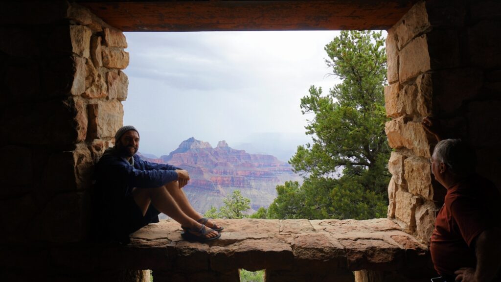
Austin and Sparky waiting out a rainstorm on the North Rim of the Grand Canyon.

Due to the rain, we spent our first night indoors within a cabin outside the park where we cooked warm chili, took aggressively long showers, and jammed to some Clairo. After breakfast, we drove back into the park for our last hike of the trip. The sky had cleared completely leaving a striking contrast between the viridescence of the ponderosa pines along the path and the pale blue of the skyline above. We descended into the North Kaibab trail which can take you to the South Rim if you continue on it. The whole hike was noteworthy but the Coconino Overlook was the highlight by far.

We took our time coming back up the trail and as we drove back to Zion we talked about how crazy it was that the Grand Canyon had been nowhere on the agenda when we had originally planned the trip but a simple decision to act on a suggestion led us there. In a way, that’s how the whole trip had come to pass in the first place. An idea to action.
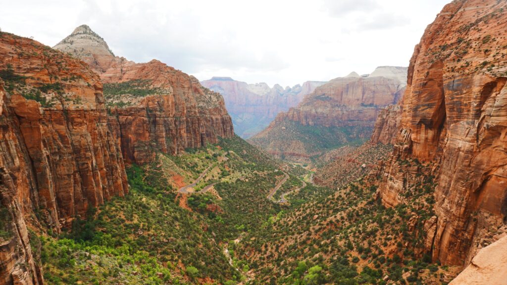
Zion National Park

So here’s to taking action in a year of inaction and when immobility is even more so the norm. However it looks, to take steps in the directions you know you’re being led and break from the insulated routine you’ve found yourself. And just like hanging thirty feet off the ground, you’ll find that part of yourself that was lying dormant pulling you toward it.
Big Bend- Outer Mountain Loop in a Day

A story of soggy bottoms, warm beer, and canned fish

In 2017, my friend Sumpter and I hiked Big Bend’s 34-mile Outer Mountain Loop Trail. The trek took us three days. Fresh into training for the Pacific Crest Trail, this was our first big test. We passed. Barely. I heard that it could be done in a day but didn’t believe it at the time.
A few years later, with a full thru-hike and a summer of guiding under my belt, I felt confident in my ability to tackle the trail in under 24-hours. So I called up my buddy Harry to see if he wanted to join. Harry and I met on the PCT and let me tell you, he can hike (and run). A former D1 cross country runner, Harry just doesn’t stop. The man will start walking in the morning and not stop for lunch because he “forgot”. I knew that he’d be up to the challenge. On January 14, 2020, at around 5 AM we started the trail. The loop starts and ends in the Chisos Basin. This basin sits under the famed Emory peak, which boasts of being the tallest mountain in the park. The trail climbs close to 3,000 ft in just a few short miles and passes close to the top of the peak. Full of excitement about our journey, we crushed the uphill cresting the saddle perfectly time for sunrise. After the initial climb, the trail drops back down into the rolling foothills on the north side of the Chisos mountains. The trip down proved far more eventful than the trip up. First, a gallon water bottle Harry was carrying ruptured in his bag, soaking his backside. This was painful because there is nowhere to refill water on the trail, and it was 30-degrees outside. With almost all hiking mishaps, the answer was to keep walking. Next, we ran into a black bear as we reached the bottom. Most black bears run away as soon as they see a human. Not this one. Maybe it had a cub with it or maybe it was just territorial. Either way, he would not get off the trail. After yelling, waving our hands in the air, and barking at it like dogs, we decided to bushwack the steep hill around it. We made it by and kept on walking. By lunch, Harry and I were feeling the pain. We had put in around 24 miles, stopping only one time to eat some food. Our destination for lunch was called Homer Wilson’s Ranch. It’s an old ranch house directly on the trail. The night before we started the trail, we had cached water and two beers. We quickly walked to the bear box and got our resupply. For lunch, I brought a giant can of sardines. Harry had never eaten one, so he tried one and was impressed. After our quick lunch, we packed up and hit the trail again. Note: We are starting a petition to change the name of Homer Wilson’s Ranch to McLovin’s Hideout. No particular reason. Comment below if you’re interested in joining our efforts. The link is below. http://chng.it/hHN6HPfTc4 Just as we had climbed and descended when we started out of the Chisos Basin, we had to climb over that same saddle to descend back to where we started. After a full day of hiking, a giant can of sardines, and a warm beer I can honestly say the climb sucked. It is about 7-miles of uphill with quite a few false summits. When we made it to the top of the climb, I was surprised to see a college guy standing in the trail shirtless, with his gear spread out everywhere. Turns out, his can of Bear Spray (pepper spray) had leaked everywhere coving his back. While painful, I couldn’t help think it was funny to see a plan backfire that badly. The final descent was pleasant. The sun was slowly dipping below the horizon, rotating through its numerous shades of yellow and red, as we approached our finish line. I couldn’t help but reflect on how much I had changed since hiking the trail three years before. The experiences I had gone through, books I had read, and people I’d met had all become a part of me in one way or another. Yet amongst all the change I was still me. The same person who had struggled to finish the trail in the days was now finishing it in 12 hours. The funny thing is both trips were equally as satisfying because both trips pushed me. That’s really what people want. A challenge. And nature always promises just that.
The Long and Winding Road to El Potrero Chico


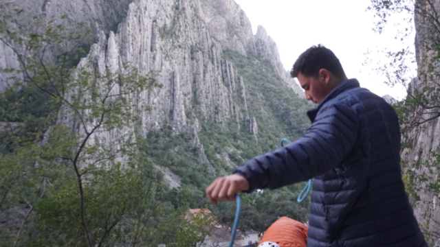
Since first looking up at the massive granite cliff faces in Yosemite, I have wanted to climb “big walls”. A novice climber does not start with an attempt of El Cap though. So following a natural progression, I started climbing in a gym, then small outdoor cliffs in Austin TX, then multi-pitch (bigger walls) at Enchanted Rock. Over the course of a year climbing, I went from not having climbed at all, to leading multi-pitch routes in the 5.10 range. After this year I felt ready for a trip to El  Potrero Chico, Mexico.

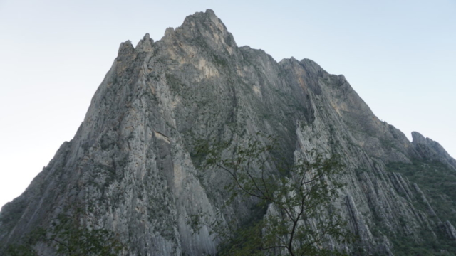
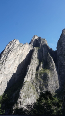
Nestled the mountains outside of Monterrey, Potrero Chico is home to pristine big wall climbing. Most big walls are only climbable with Trad gear which is both expensive and difficult to use. One thing that makes Potrero Chico special is that many of the routes are bolted sport routes. So I bought a guide book and began preparing for a trip there with my friend Tommy Pham. Both being relatively new climbers we decided to try some moderate routes with the main goal of the trip being to come back in one piece.

We started off from San Antonio with one additional friend, Cosme Belmont. About an hour from the border we realized that we were missing a required document to get our car into Mexico. Because of this realization, we called an audible and left the car at a Gray Hound station in Laredo, taking a bus the rest of the way. Once in Monterrey we rented a car and finally made it to Potrero.

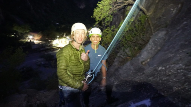
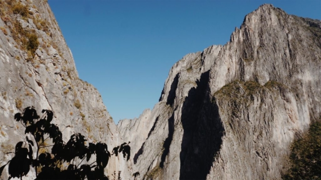
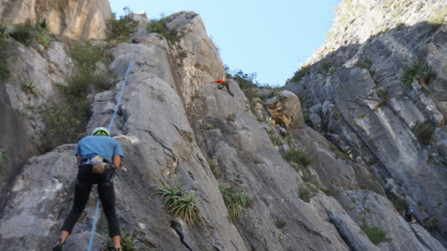
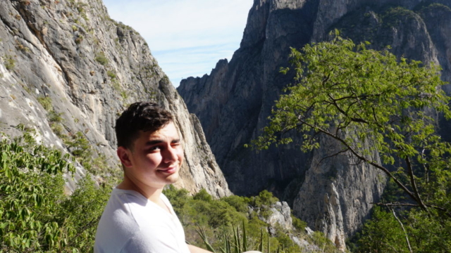
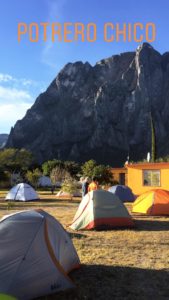
We stayed at El Rancho Sendero, a camping area popular with climbers. The facility had showers, a shared kitchen, and even a restaurant. It was a perfect place to meet other climbers and talk about that day’s adventures. The view wasn’t bad either

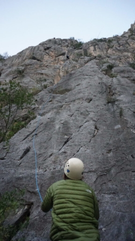
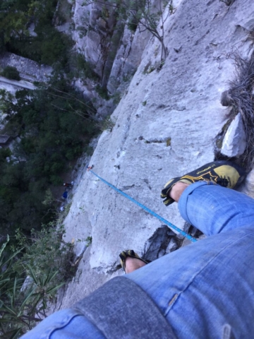
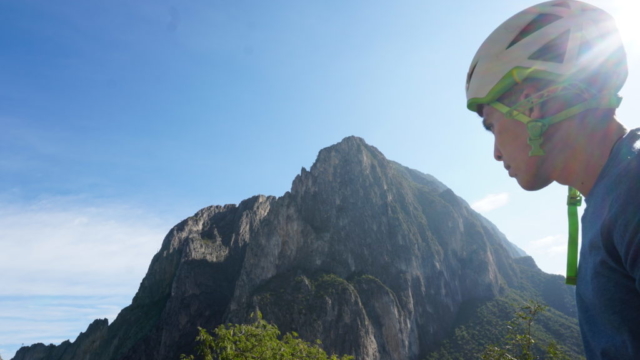
The climbing in Potrero was even better than I had imagined. The rock was pristine and the routes all had a flow that made them fun while still providing a challenge. Great crack climbing, balancey/crimpy routes, and exhausting dihedrals could be found around every corner.

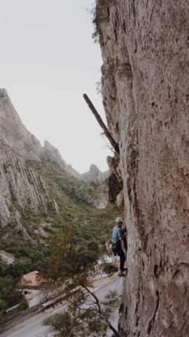
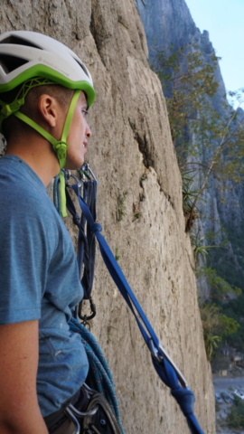
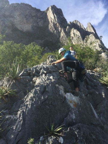
Our first route was Remember the Alamo, a three-pitch 5.9 route. This route required a steep hike in, so throughout the entire climb, you felt way higher up than only three pitches. The views were spectacular and so was the climbing. We also climbed Three Border Phatties, This Dog’s Life, Salem, Mas Panza Que Pelo, and 31 Foot Smirf. Most of the routes we ended up doing we’re single pitch. I didn’t feel like Tommy and my climbing abilities were quite up to what was required for some of the bigger routes, but I definitely plan to try bigger routes next time I go! All in all, a great trip with lots of good memories (and unhealthy portions of amazing Mexican food).

With Trump’s talk of building a wall and closing the border, what should have been a 5-hour drive home turned into a brutal 27 hours of travel, as the border was being flooded by people trying to get into America. This ordeal caused me to miss a “non-exchangeable and non-refundable” plane ticket to Colorado. It all worked out in the end though after I begged the lady at the airport to put me on my flight and it worked.

The trip was a great one. Good climbing, great people, and dank Mexican food.

From Tourist to Tour Guide, Guiding Backpacking in NM

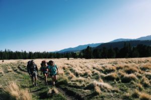
While I had been mostly backpacking solo thus far on my gap year, I decided to mix it up for the summer of ’18. I wanted to take my passion and share it with others, allowing people to experiences the places I love so much. I choose to work for Glorieta as a wilderness guide in New Mexico.

I was immediately surprised at how different guiding was from solo backpacking. While on the PCT, I could crank out 30 mile days like no-ones business, but guiding was a different story. I was taking people who had never backpacked and often never even slept outside, into the backcountry. Most of my customers were extremely out of the comfort zone. This made things like setting up camp/cooking take full afternoons. A 5-mile day on the trail was no considered solid and walking .25 miles an hour was decent. Statistically speaking, this should have been a “worse” experience than solo backpacking. I was not able to see as much land, completely responsible for others, and had very little personal time, yet the opposite was true.

Getting to see my campers faces after climbing their first summit made all of the painfully slow miles seem less slow. Hearing them marvel over the sky in the backcountry made those slow mornings packing up seem to go a little faster. Simply sharing my love for the outdoors, with people gave me all the fulfillment I was looking for.

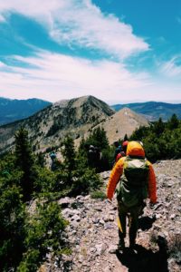
Processed with VSCO with a6 preset

Over the course of the summer, I took around 8 trips into the backcountry. Each one presents its own challenges and had its own high points. Not only were my campers able to grow, but I was able to grow right along with them. I learned a lesson that I had struggled with grasping on the PCT. It doesn’t matter how many miles you go or how beautiful the surroundings are if you’re alone. The people you are with matter more than where you are.  I was lucky enough to spend the summer surrounded by great people. My co-guides and boss made everyday fun and exciting and I was fortunate to be able to share experiences with them throughout the summer. 


Overall, guiding was a positive experience. I opened my eyes to the outdoors industry and made me consider choosing a path in life that aligns with my passion for the outdoors. That is actually still a work in progress.


The Katun Road

While hiking the PCT I got in touch with a man named Britt Boone who lives in Montenegro. Britt owns a startup travel company in Eastern Europe called Meanderbug (meanderbug.com). After a few months of talking it was decided that I would come for three months and do a work-for-stay. A short two weeks after arriving home from the PCT I set out once again with adventure on the horizon.

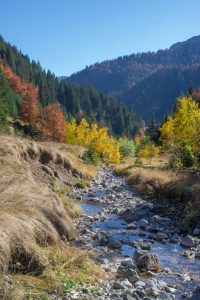
Once of the main reasons for my visit was to help create a thru-hike in Montenegro, that follows the scenic Katun Road. This road goes through the north mountains of the country and our goal was to create a hut-to-hut hike. On this type of hike you are able to sleep in a bed and eat real food, but still hike every day.

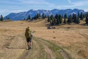
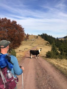
I few days after I arrived we headed out. Never before done, this hike had a lot of unknowns but a shortly after starting we both realized the potential of this hike. The mountains were breathtaking and the cherry on top was the people. Mountain farmers and shepherds were scattered through the area and offered a unique cultural aspect to the hike.


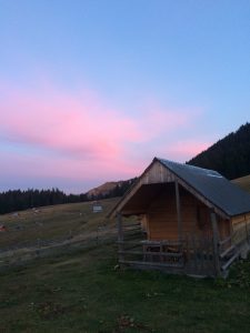
The first day we hiked about 10 km almost exclusively uphill. At this time of year daylight was not on our side so we were not allowed many breaks. Besides talking with a few locals and sadly denying their invitations for coffee, few breaks were taken. Shortly before sunset we arrived at our first Katun. This Katun village was high in the mountains but also in a giant grassy field that was shaped like a bowl, with hills rising up on all sides above the village.

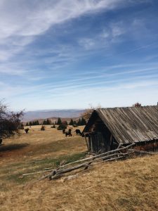
Side note: Katuns are mountain houses generally occupied in the summer months by shepherds so their flocks can graze in the mountains. 

Mountain Katun

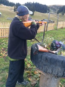
Our Katun was owned by a mountain of a man. Montenegrins are already the third tallest peoples in the world and this man towered above the rest. Since this man spoke no English, Brit was my translator. Almost immediately after arriving he took us to a garden and we dug up fresh mountain potatoes. As we skinned them in the front yard, the other two men in the village brought out their guns and a can shooting tournament was soon in place. Expecting me to not be able to shoot they were all surprised when I knocked down the cans. After Britt told them I was from Texas the all shouted “cowboy!”.

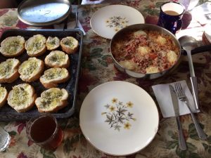
We shared a home cooked traditional Montenegrin meal, and headed to bed in our Katun heated by a small wood burning stove. The next day one of the men from the village offered to hike with us and show us a back-country route that was off of the Katun road. Despite being 70 years old this man lead us from memory through the mountains for half of the day. Only interrupted by a stop from boarder police patrolling the area, we made good time the first half of the day. The second half of the day was different…


After the old mountain man turned around to go home, we continued confident in our navigation abilities. Ignoring our map, we decided to continue on this back-country route. This was not smart. As we walked we went down almost 3,000 vertical feet, off trail, and ended up in a giant canyon. With nothing else to do we were forced to find a way out. The only way was up so that’s where we went. At an excruciatingly slow pace we climbed, mostly with all fours on the ground, all the way out of the never ending canyon. Unlike the first day, we were not luckily enough to beat the fading sun and shortly after making it out, the sun had completely retreated.

We brought tents and sleeping bags in case we weren’t able to make it one day and I was convinced we would have to use them. With the sun, the temperature also dropped very fast and we still weren’t at our Katun. If we didn’t make it, we would not only have an uncomfortable night, we would let down our hosts. They were expecting us and had spent the day preparing our food. Because of this we hiked on in the dark. Miraculously, Britt got cell service and we found out we were very close. Being night, we had our hosts pick us up and we were inside with warm food only shortly after not expecting to make it at all.

Exhausted from the day’s hike we both knew that this was the conclusion of our trip. With a good start we could get to work on our Katun-Road thru hike and so we arranged a taxi for the next day to take us back to our car.

Although we didn’t finish the hike we were able to recognize the potential this hike could hold and get a idea of the beauty and culture that surrounds it. In the upcoming weeks I will be working with Britt to create this hike. Stay tuned to see how it turns out!
(The blog post I did for Meanderbug is now out!) Check the link below.

Hiking the Katun Road – A Hut to Hut Adventure

Noel Nelson

The End…

Real life isn’t typically like the movies. Events don’t always climax at the end and the get resolved. But my last stretch of trail was different. It was most definitely the most climatic ending I could have imagined.

It started the day we left Mammoth for the 128 miles to Kersarge Pass, my end point. Our bags were packed with a heavy six days of food. It felt like it was trying to pull me to the ground and the steepness of the trail was helping it.
The first day out we did 17 miles, despite feeling bad. We pushed on until darkness only stopping for quick breaks. We all assumed we were suffering from altitude sickness but we were wrong. Day two we were all plagued with extreme fatigue and lots of fluids leaving our bodies from both ends. With well over a 100 miles to go, this was not a good sign.

For two days we hiked through the pain. Hardly eating and constantly laying down to sleep, we were barely able to break 20 miles a day. This meant that the section would take longer then anticipated and food would have to be rationed. At this point most people would have bailed. But we had walked for five months to get here and nothing would stop us. Logical? No. But the summit fever we had, was stronger than the actual fever we had. So we walked on.

I had packed out vegetables like onion, garlic, and jalapeño. So every night I was able to make a broth for soup and that along with meds I had been carrying from my mom healed me by the third morning. I was low on food and still fatigued but no longer sick at my stomach. I could make it.
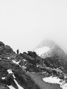
As I packed up camp on the fourth morning I noticed Lt Dan and Curry weren’t moving around much so I went over and talked to them. While I had been getting better they had both gotten even sicker. Hardly able to walk they didn’t know if they would be able to make it. For Lt this was extremely difficult. Like me, he is not someone that quits something and is extremely determined but he had been forced into a corner and may not have a choice.
I told them where nick and I would hike to that night and that I hopped to see them there. As I hugged each of them goodbye I could see tears in their eyes. After telling each of them I loved them, I was hiking away. That would be the last time I would see each of them on trail.

Nick and I made it to where we said we would camp by four pm. Despite being able to go father we stopped for camp in hopes the others behind us would catch up.

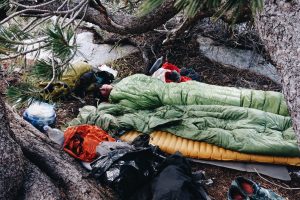
Unlucky the spot we picked to camp was a alpine lake that rested above 11,000 feet. With only rock around it, viscous winds whipped through the area and made setting up an ultra-lite tent nearly impossible. With no other option we cleared a spot under some small trees and laid down to cowboy camp. The winds blew their hardest all night and made sleep difficult but our spot was sheltered enough to keep us protected. The one thing it couldn’t do much about though was the cold. That night the temperatures dipped into the teens. At five am I awoke in the dark to a horrible sensation when camping without a tent, falling snow.

We quickly threw our tents over ourselves in an attempt to keep the snow off our sleeping bags. By morning light we were covered in a few inches of snow and it was letting up. Still 30 miles from town we had not planning to get there until the following day, but the storm had thrown a wrench in our plans. All of our gear was wet. This meant our bags would not keep us warm and the next night would most likely be equally as cold. With no other option we decided to attempt to make it all the way to town.

I had done many 30 mile days before but this was different. The cold temperature made your body hurt, the altitude cut down on the available oxygen, and the brutally steep rocky trail made hiking tediously slow. Either way, once again we didn’t have a choice. It was do or die.

With snow still falling we threw our gear haphazardly into our backpacks and started our day.

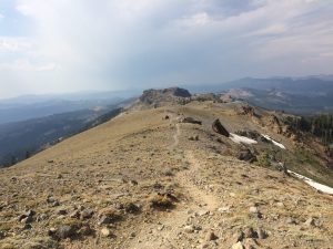
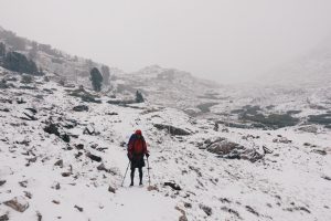
Even though we had slept high we still had over 1000 feet to climb for this first pass. As we neared the top, the snow thickened and the wind blew hard. With less than a hundred feet of visibility and snow filling my eyes I had to tell myself verbally that I would be fine over and over again to not freak out. Panic attacks are not something I deal with but today would be different. Together, nick and I were able to navigate the snowy pass and descend to a lower elevation. The snow still fell but the wind no longer filled the air with it.

After the first pass I felt as if I had hiked a full day but I was not done yet. Not even half way. Two more passes remained between me and my finish.

The second pass was bigger than the first and we reached it early in the afternoon. My experience was similar to the first pass. High winds attempted to knock me off my feet high upon the alpine trail but I managed to keep my footing and once again climb the white pass.

By this point in the day we had been hiking for about 9 hours with a single break. My feet were soaked with freezing water and my hands had now turned purple from the temperatures, which had yet to climb above freezing.

On the outside things were bad. Night was approaching and we still had another pass to cover. My body was drained of energy as well but mentally I had gotten stronger all day.

I was one pass away from finishing. From hiking all the way from mexico to canada. No matter what was going on I was going to make it. I could taste the victory of a battle I had fought for five months for. This was nothing more than my final test.

As we descended the second pass and started the ascent of the third and final pass the storm broke. The temperate didn’t rise or the clouds fully leave, but it was no longer snowing. This was a sign.

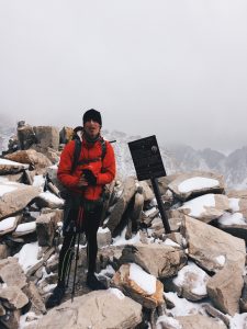
As I climbed further I could see the sign atop of kersarge pass. This sigh had been in my mind for months because it was to be my end point. And now, it was here. I continued to trudge up the mountain toward it, but as I approached I felt strange. This whole time I had been walking toward the end. And now that I was almost here, a sadness came over my body. This had been the greatest adventure of my life and now it was almost over. As I walked I felt my throat get tight and my eyes fill with tears. I hiked on through the cold with tears running down my face. I had put my blood, sweat and tears into this journey. I had battled the cold, wind, rain, fires, dessert, and raging rivers. I had met people that would become lifelong friends. I had laughed and cried and lived wildly in the most beautiful wilderness in the world. All the time walking toward this moment and now it was here. I reached the top and reached out a purple finger to touch the sign.

After all this time I had done it. I had through hiked the Pacific Crest Trail. In a fierce mixture of emotions I was ecstatic to have accomplished my goal and distraught for it to be over. On top Nick snapped a few pictures of me, we hugged and headed down to the trail head. For the last time, I would head to town.

The PCT now would be nothing but a memory for me. The best memory anyone could ever have.


Rainy days in Yosemite

The town after south lake Tahoe is Kennedy Meadows North, where Hummingbirds Cabin is. Even though she went back to college after reaching Canada, she allowed us to stay there. With a free place to stay, we took a zero and we’re able to cook our own meals. Lt Dan cooked a authentic Israeli breakfast called shakshuka. Well fed, we headed back into the Wilderness and soon entered Yosemite National Park.

Isreali breakfast

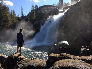
In the park we passed by huge waterfalls and beautiful meadows. Additionally the PCT merged with the John Muir Trail (JMT). That meant the number of hiker increased dramatically.

Water falls in yosemite

Besides just more hikers, more thunderstorms seemed to come with this new section. Almost every day around 3:30 it would storm. This meant if you were about to climb a pass you would have to wait until the storm blew over, which could take the whole afternoon.

The second day out of town, a massive thunderstorm hit. To avoid being in a dangerous place for lightning, we set up camp at an all time early 3pm. The storm raged on and the lighting strikes continued to get closer. There was nothing i could do so i put my headphones in and pulled my sleeping bag over my eyes.

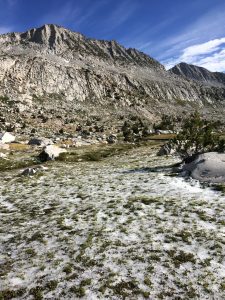
frozen ground from the storm the night before

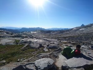
Two days after the first storm another one hit. This time almost at night. I got so cold in the rain I sped up my hiking pace to stay warm. I ended up getting quite a bit ahead of Lt Dan and Curry. When I set up my tent they went ahead of me and we got split up. The next morning was freezing but I packed up in the darkness to try to catch them before they left for the day. I passed lots of JMT tents but never saw there’s all the way to the pass. I knew they hadn’t packed up earlier that me, so i knew they were behind me but i didn’t know where. I waited on the pass in my sleeping bag for almost two hours and then they finally showed up. They too didn’t know where I had been so they had been slow to get up so I would see their tent (which I didn’t). Either way we were all united once again and the weather was good.

Waiting on the Pass

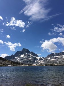
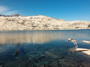
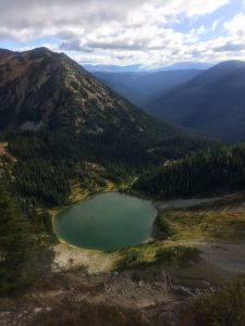
In Yosemite the giant rock mountains seemed to be bigger than normal. They loomed over us at every turn making me feel very small. The last day before town we had lunch at a deep blue like with a huge mountain range as the background. Soon after we were in the town of mammoth.

Noel Nelson- pct mile 2530

Lunch with a view

The Sierras (again)

As we approached the trailhead at Donner Pass in Truckee I was amazed. I had been here before but did not recognize it. In June everything was snow covered and now there was nothing… Day hikers as far as the eye could see, happily trodded up and down the trail. The plan had worked.

With heavy packs full of food we headed out once again into the grand sierra.

The first day out the trail led up a very exposed ridge. The views were beautiful on both sides but a thunderstorm was on our heels. We could see the dark clouds behind us and moving in. Every distant roar of thunder was good encouragement to go faster than before.

After a stressful hour of hiking we made it off the ridge. In the mess I had taken a wrong turn and gotten off trail. That meant lt dan and curry had gotten ahead of me thinking they were still behind. So when I got to where we said we would camp they weren’t there, thinking I had gone farther. So i hiked on as well hoping their ambition to catch me wouldn’t last long. Three miles later I found them at a camp.

Right before entering south lake tahoe, the trail passes by Aloha Lake. Named for the many stone islands scattered around it, this was the first of many sierra alpine lakes we would pass. The water was so clear we had to swim despite the fridges temperatures.

Aloha Lake

After getting into town we got connected to a trail angel named Rob who worked as a pit boss at casinos. Surprisingly we were the first thru-hikers to contact him this year so he was very excited to have us. He cooked us two homemade meals, made us sandwiches to go and drove us back to the trail.

Road Trip

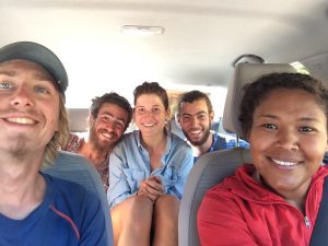
From Canada it was about a fifteen hour drive down to truckee california. We decided to break it up over a few days because the rental car we had was only under Cupids name.
Although our goal was just to make it to Truckee and resume the hike, we made an event out of the drive. It was our road trip.

After saying goodbye to Bee Keeper in Canada, we drove down to seattle. Everyone tried with all their friends to find us a place to stay but we all came up empty handed. This meant finding the cheapest hotel possible. Unsurprisingly our hotel looked like a map on call of duty, set somewhere in the middle east. I might normally be apprehensive about staying in such an establishment but after hiking for the past four months my standards have seriously dropped. I welcomed the bed and hot shower, no matter the quality.

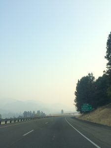
The next day we drove down to Ashland Oregon. The current talk of the trail had been the wild fires. I had been able to narrowly escape most, but while driving down, we were in smoke almost the entire way. These fires ran the entire length of the west coast. The entire day we drove in smoke but we eventually made it to ashland where planned to stay with a friend of curry and cupid named Zahara. Zahara owns a small shop in ashland that is focused on everything middle eastern/asian. The tiny shop was packed full of authentic dress and jewelry. Unsurprisingly, her house was exactly like the shop. I felt as if I was in another world. She was a very kind and gracious host and I thoroughly enjoyed my stay. The next morning we were off once again.

Smoke from the Oregon fires

The car was to be returned in Reno Nevada, about thirty minutes from Truckee. Being back close to the trail we hoped to find a trail angle to stay with before hiking out, but had no luck. So we tried a new tactic, couch surfer. I had used couch surfer before on trail and had always had a positive experience. In Reno we found a host named Zen. He was originally from the south and made beans with corn bread. Having a taste of home-made southern food was an amazing reminder of home. Also at his house were other couch surfers who had just come back from Burning Man. Over dinner we all swapped stories of our recent adventures.
The next day we were on trail once again. This time, with the end in sight.

Oh Canada!

The final town in Washington is called Stehekin. This tiny town is unique because there are no roads leading in or out of the town. The only way to get there is by foot, float plane, or ferry.

After arriving there, we went to the bakery. One of the most famous establishment on trail. Then, after a few cinnamon rolls the size of my face, I was asleep on the bakeries grassy lawn.

Out of nowhere Cupid said she was taking the ferry and hitching to meet up with Curry who was in the Hospital. This was not the first time I had witnessed one of the girls giving up a section of their hike to be with the other in a time of need. It was a true act of friendship and showed the bond that is formed between thru-hikers. So once again, it was just the guys.

That night in town I sat with Bee Keeper. We watched the sun go down over the lake and talked like old friends do. Over the past few weeks we had grown close. Unlike everyone else in the group, he had made it through the sierras. This meant that in the next four days he would be finished with the entire trail. As the day turned to night our conversation focused on his finish of the trail and re-entry to normal life. I thought that he would be ecstatic in his completion of the trail but he talked about how great his time had been and spoke about finishing as if he was bracing for a painful event. This struck me. I had recently been disappointed that I would not be able to finish in canada. I still had the Sierra’s to go back for and not finishing at the terminus was something that had increasingly bothered me up to this point. But now, sitting on the lake, my mindset shifted. Instead of disappointment I was happy. I still had a few more weeks of this grand adventure. In my drive to complete the trail I had missed this up until now. I now reminded myself that it is all about the journey not the destination.

Once the night had grown late we headed back to our camp. With my new mindset, I was happy to head out into this last section and the next morning we were hiking once again.

After leaving Stehekin we entered the heart of the North Casacdes. The end of Washington was every bit has beautiful and dramatic as I had anticipated.

Bee Keeper, Lt Dan, and myself had dubbed ourselves “The Singers”. A phrase Lt Dan always says, it refers to living the good life. Between our many days of laughter and adventure life couldn’t seem to get much better. Therefor “The Singers” were official. Our last days with Bee Keeper, climaxed the night before reaching Canada.

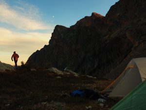
Instead of camping in a low elevation valley like normal, we slept on top of a pass. A giant rock face overshadowed us on one side and a grand vista took up the other side. The sun set turned the rocks a deep color of red and illuminated our view in a way that seemed cinematic.

The high elevation made the night cold and windy and soon after the sun retreated, we all did as well.

The next day was our last all together. We hiked the remaining eleven miles to Canada in cheerful conversation about reaching this massive mile stone.

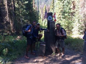
A few minutes after noon we rounded a corner in the thick washington forrest and saw the monument standing before us. Shouts of joy erupted from us as we howled and hugged the wooden monument.

In the moment I was more happy for Bee Keeper than myself. For me it was just a mile stone. I had over 350 miles left but for him it was the final milestone.

The girls had rented a car and met us at the border. All together again we had a group photo sesh and then entered into Canada.

At Manning Park we shared our final meal together and in the parking lot Lt Dan gave Bee Keeper a moving goodbye speech. We all said our own goodbyes and then were on the road.

Bee Keeper would take a bus to Vancouver and fly home the next day. As for us, we started our drive back to the Sierra’s. My journey was not over just yet.

Noel Nelson (pct mile 2300)